 |
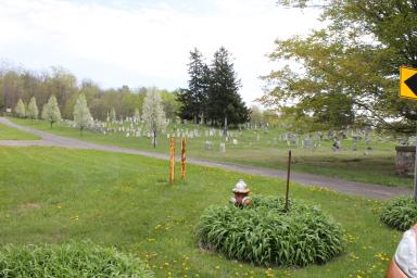 |
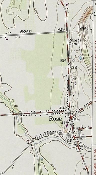
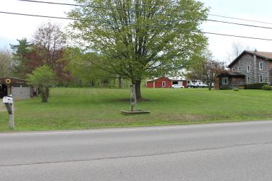
| Beginning with the Rose Cemetery, follow the lines down and across the road. (1949 U. S. Geological Service Topographical map) | North end of Rose Cemetery; the cemetery is about 15 ft. higher than the road. (used with permission LA Jorgensen) |
 |
 |
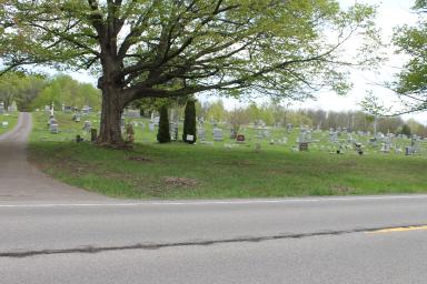
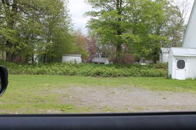
| 30 ft. south, the cemetery is now 20 ft. higher than the road. (used with permission LA Jorgensen) | South end of the cemetery is back to 15 ft. higher than the cemetery. |
 |
 |
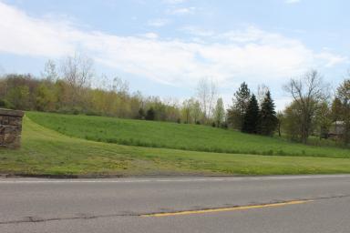
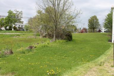
| The esker has moved closer to the road which is straight at this point. | Behind the Grange building the Highway Department has removed the gravel for use on other roads. |
 |
| From the front of the Baptist Church on Wolcott Rd., the rise of the Esker is a dramatic 25 ft. |