
If you find errors OR have additional information about this site, please send a message to contact@waynehistorians.org.
Hubbard Cemetery
| Historic Site #: | 03-044 (Exists) Type: B1 | Town: | Galen | ||
| Site Name: | Hubbard Cemetery | GPS Coordinates: | 43.014641, -76.938335 | ||
| Address: | 291 Reed Rd Clyde New York | ||||
| Description: | |||||
2005 Driving Directions - Rte. 31 West heading out of Clyde Take Reed Rd. to the left. Reed comes to an immediate end. At the end of the road are two driveways. Take the driveway to the Left. Follow up Private drive to the house. Behind the house is an old Oak tree. Looking into the pasture at the Northeast end is where the Cemetery used to be. Information provided from neighbor. (According to neighbor, the stone(s) where taken down by a previous owner due to prowlers in his fields and headstone(s) placed in the hedgerow.) No owner was home. Did not have permission to go on property for pictures. | |||||
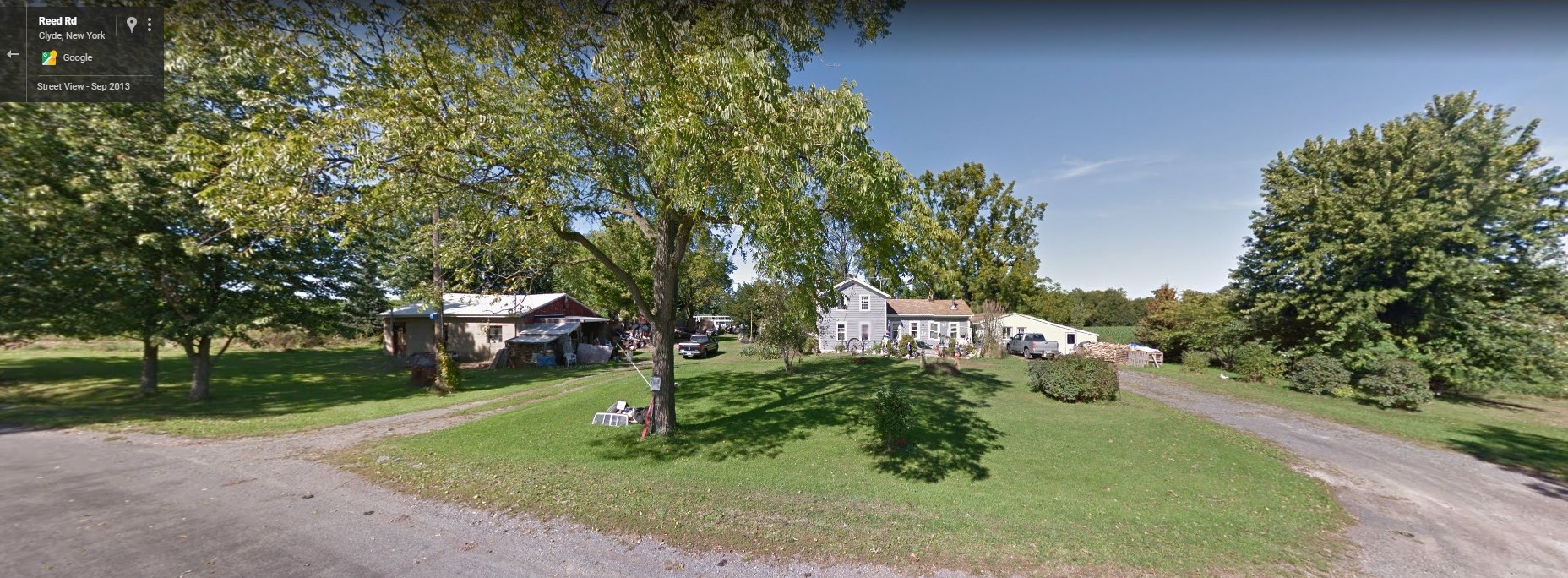 |
| From Google Maps |
| Historic narrative: | |||||
| The following gravestone is in a clump of bushes at top of first hill West of the present (1952) Grant Atkins farm on Old Route 31 between Lock Berlin and Clyde village. HUBBARD Eli, Aug. 3, 1822, 99y | |||||
NYGENWEB Cemetery web page
Google Maps