
If you find errors OR have additional information about this site, please send a message to contact@waynehistorians.org.
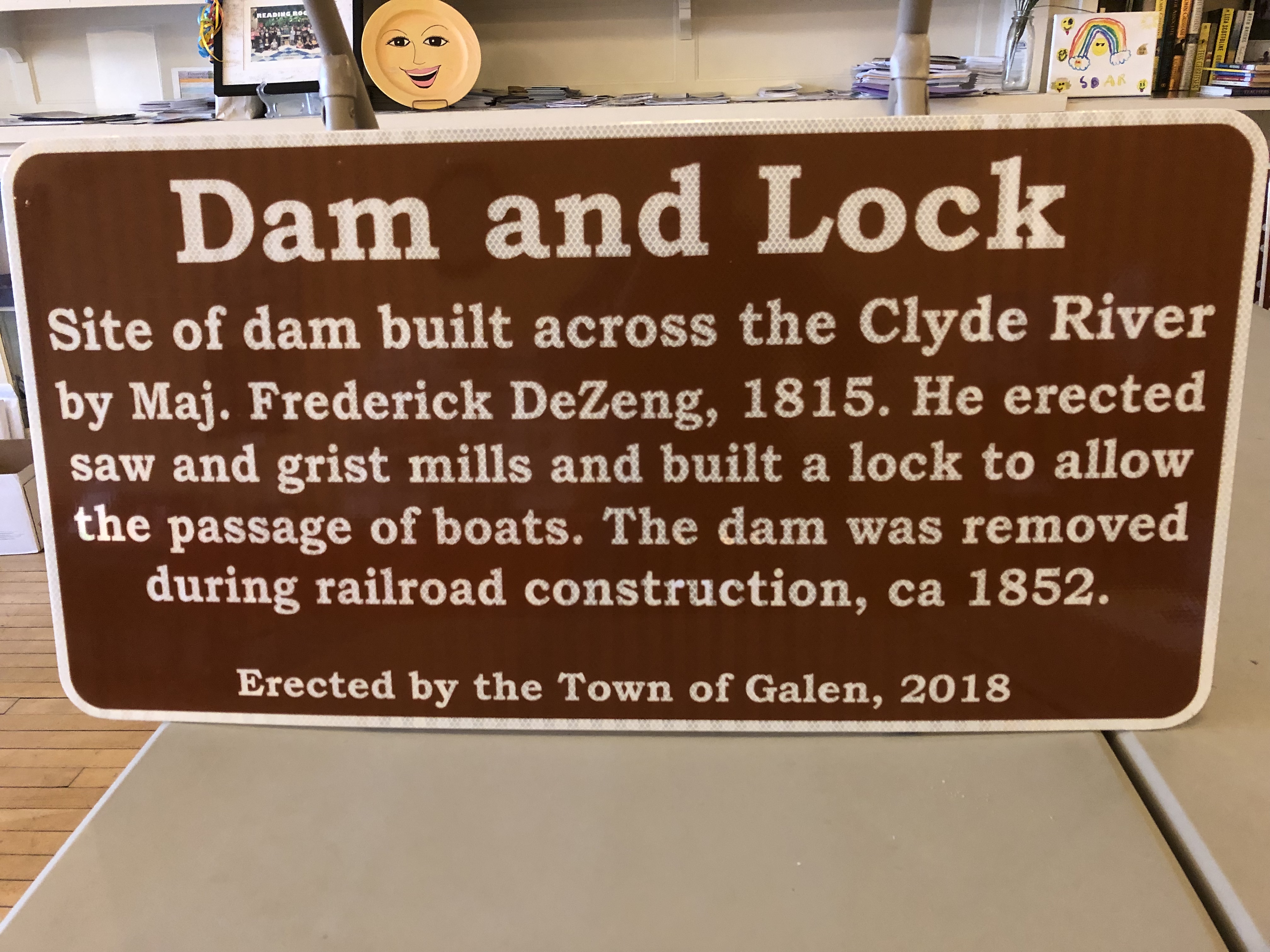
Dam and Lock Interpretive Sign
| Historic Site #: | 03-072 (Gone) Type: B4,I2,I0 | Town: | Galen | ||
| Site Name: | Dam and Lock Interpretive Sign | GPS Coordinates: | 43.08056, -76.871457 | ||
| Address: | 58 Water Street Clyde NY | ||||
| Description: | |||||
 |
| No image of dam and lock available |
| Historic narrative: | |||||
| In 1815, Maj. Frederick DeZeng erected a dam and lock on the Clyde River in Clyde, NY, in order to create a source of power for saw and grist mills. The structure was removed in 1852 at the time of the construction of the railroad. | |||||